August 30, 2020 - FunFly along the NC/VA border - Part One
|
|
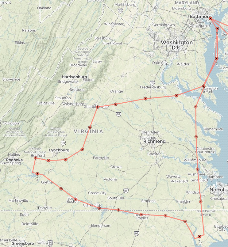
For a month or so, I have had a plan for a flight down to the North Carolina - Virginia border, flying east to west along a river and some reservoirs, then head back via the D-Day Memorial in Bedford, Virginia, Appomatix, and Monticello. I had been waiting for a good weather day as there is no point in making a flight like that if the weather is not good.
Today was the day. Like like Sunday, it was another fabulous weather day.
|
| |
 |
|
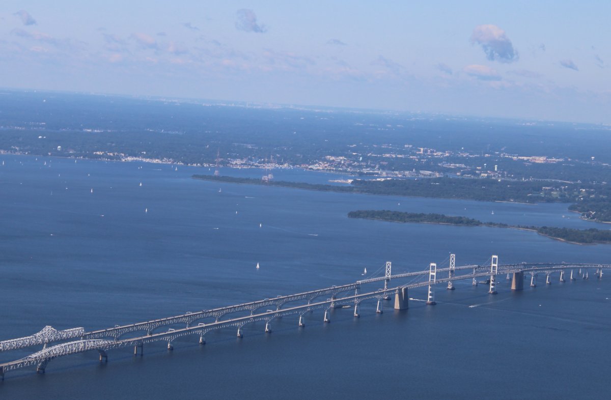
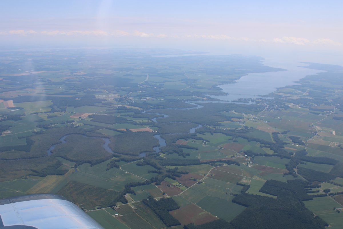
| Visibility was outstanding. You can actually see Washington D.C. at top center. That's very unusual. Annapolis and the Bay Bridge are in the foreground. |
| |
 |
|
|
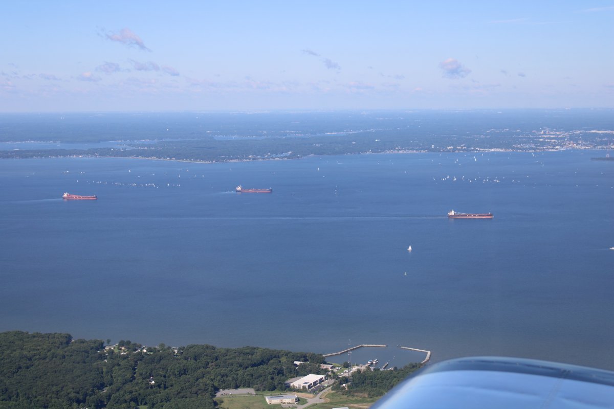
The boaters were out in force and also taking advantage of the beautiful day.
|
| |
 |
|
|
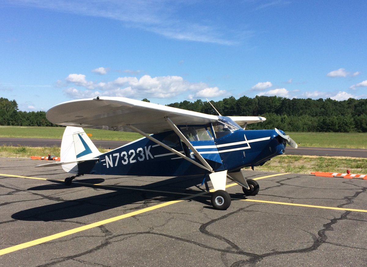
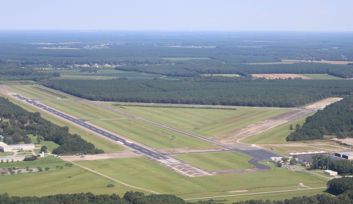
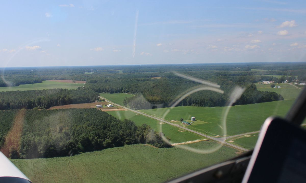
I stopped at St. Mary's Airport to get gas. I'm happy to report that they have finished refurbishing their main taxiway, which runs parallel to the runway. While I was fueling up a guy came up and asked me questions about the RV. I asked him if he was flying that blue and white taildragger. He was. Not only that, he is flying it to all 48 states in the continental U.S.! His home base is in California so he's a long way from home. I wish I would have been able to talk with him longer.
The plane is a 1950 Pacer in great condition.
|
| |
 |
|
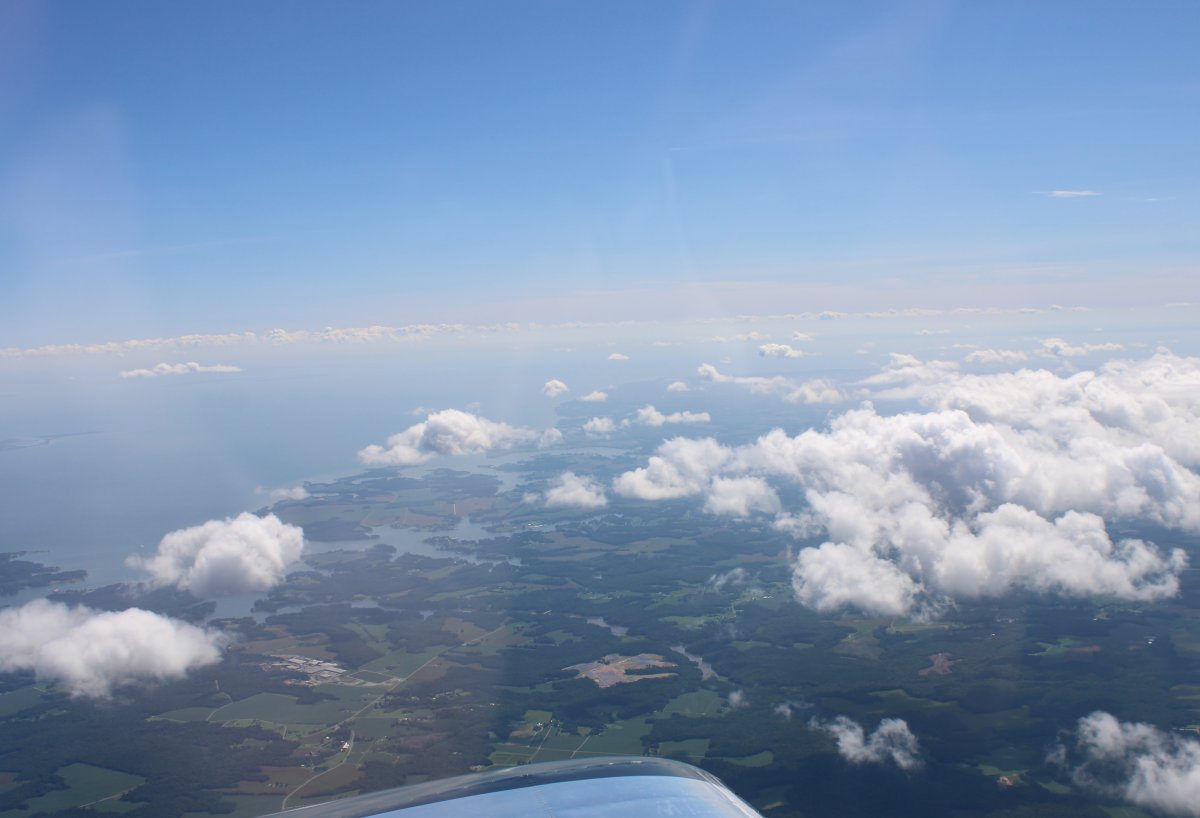
| The path to Albemarle Sound was one I have made many times, so I climbed up to 7,500 feet and went fast where the air was cool and smooth. |
| |
 |
|
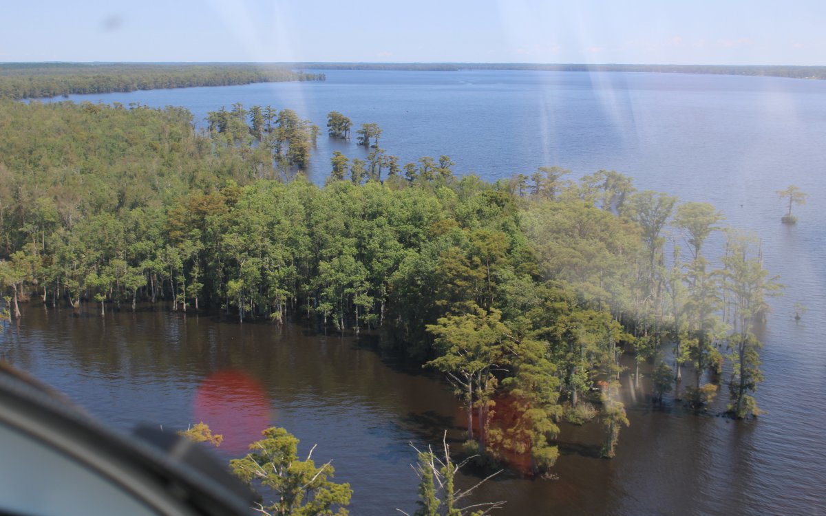
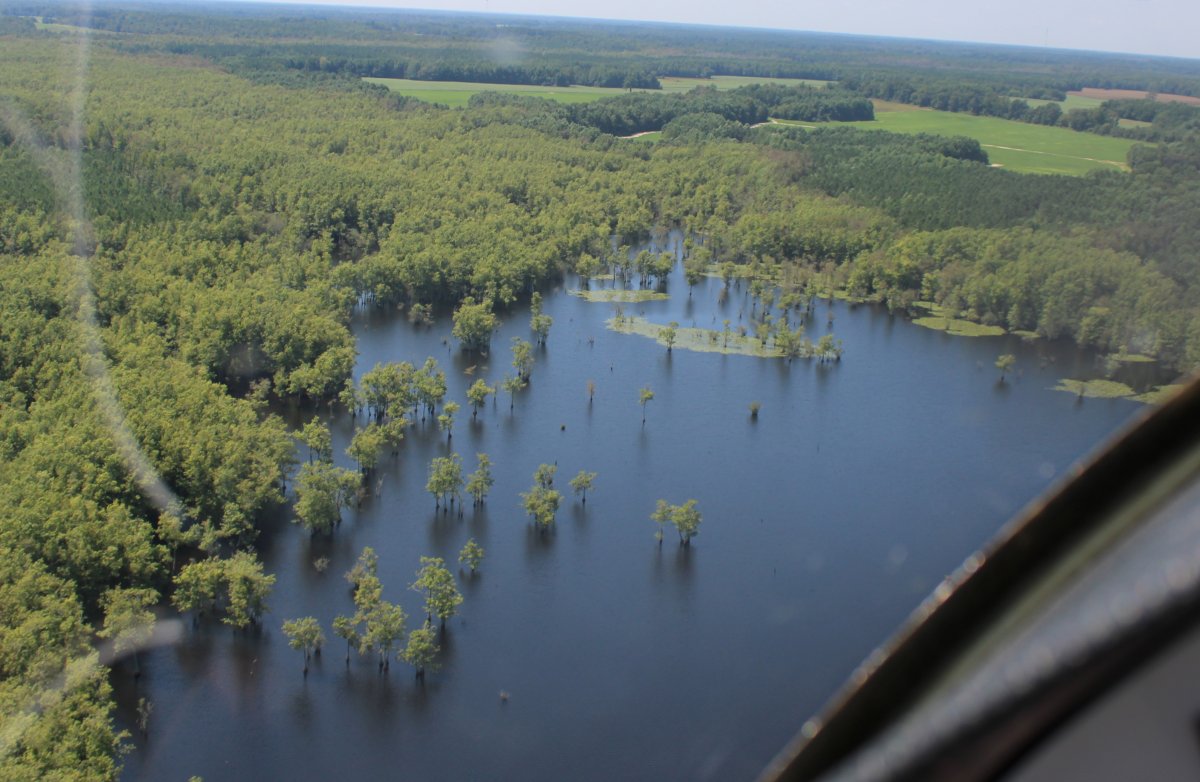
Approaching the Great Dismal Swamp on the left. Lake Drummond, a 3,100-acre natural lake, is located in the heart of the swamp. The forested wetlands are now a national wildlife refuge. |
| |
 |
|
| A closer look at the Great Dismal Swamp and Lake Drummond. |
| |
 |
|
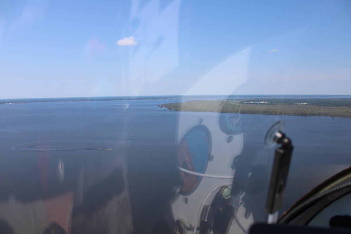
| I had a nice tailwind down to Albemarle Sound and was making good speed. |
| |
 |
|
|
Looking east at the Perquimans River off of Albemarle Sound.
|
| |
 |
|
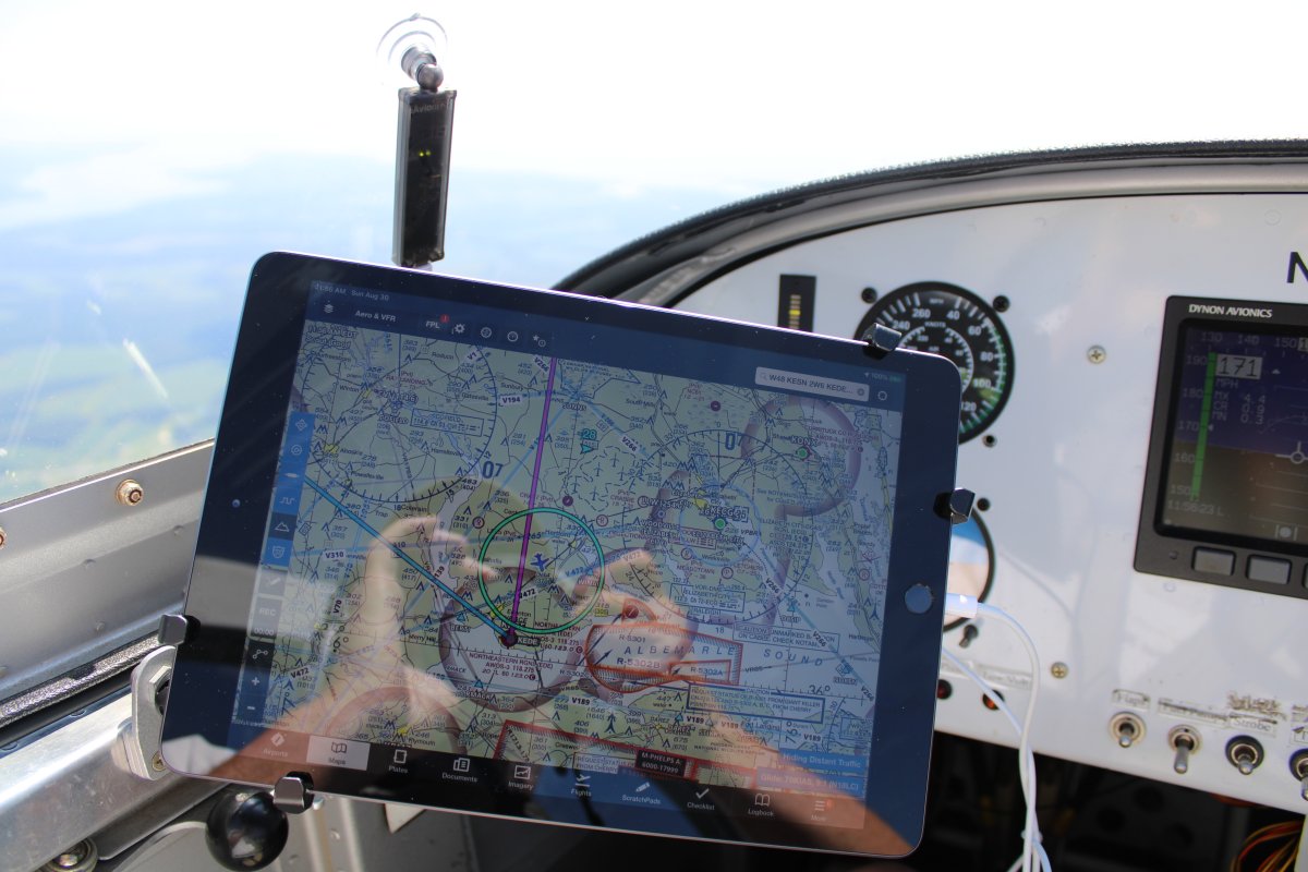
| I recently upgraded to a new, larger iPad. It runs my Foreflight software in flight. Works great! I can see traffic on it, courtesy of ADS-B in. It's so nice seeing my position on the aircraft sectional chart. |
| |
 |
|
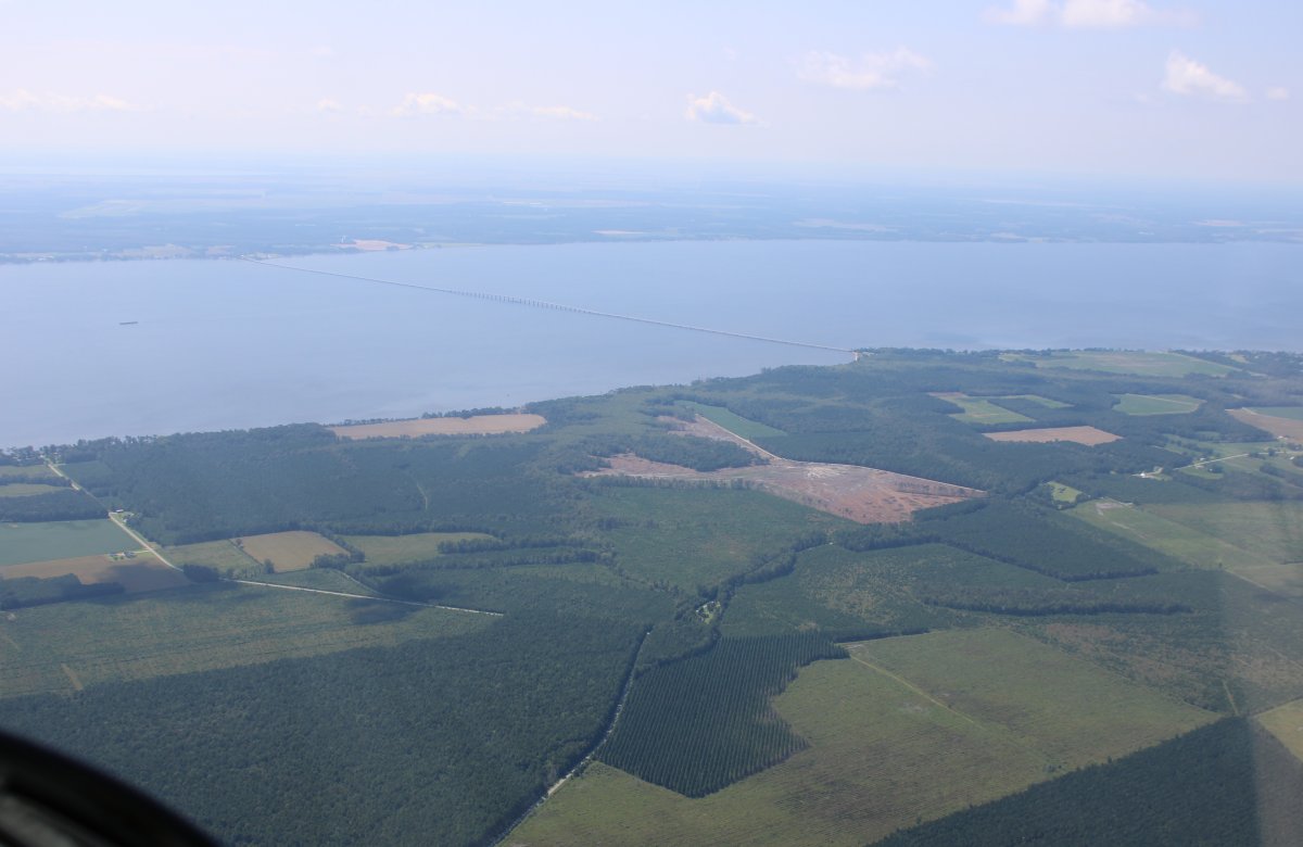
Approaching the western end of Albemarle Sound, The Albemarle Sound Bridge, also called Haughton Road Bridge, is 3.4 miles long and part of North Carolina Highway 34. |
| |
 |
|
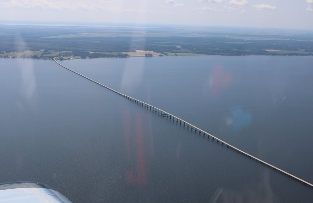
| A closer look at the bridge. |
| |
 |
|
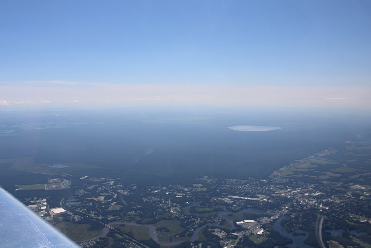
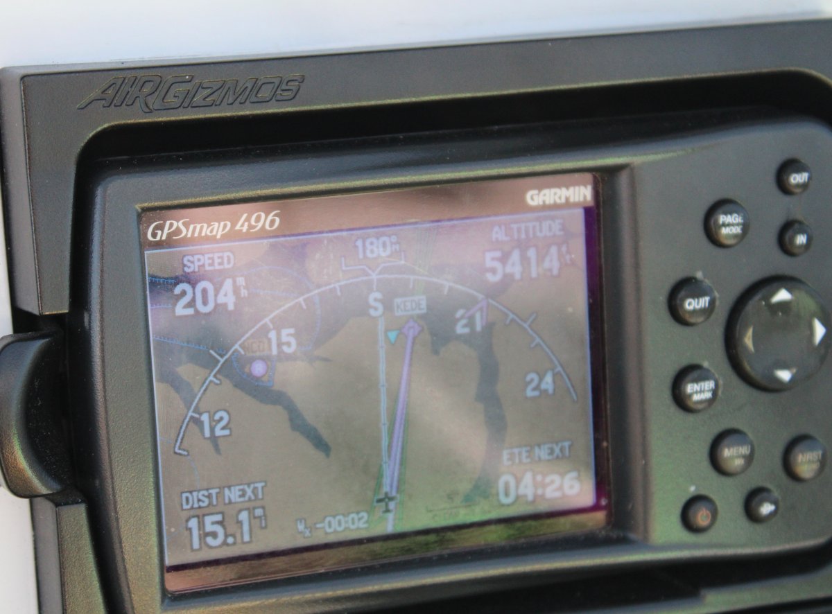
| Just to the west of the bridge is Northeastern Regional Airport (KEDE). |
| |
 |
|
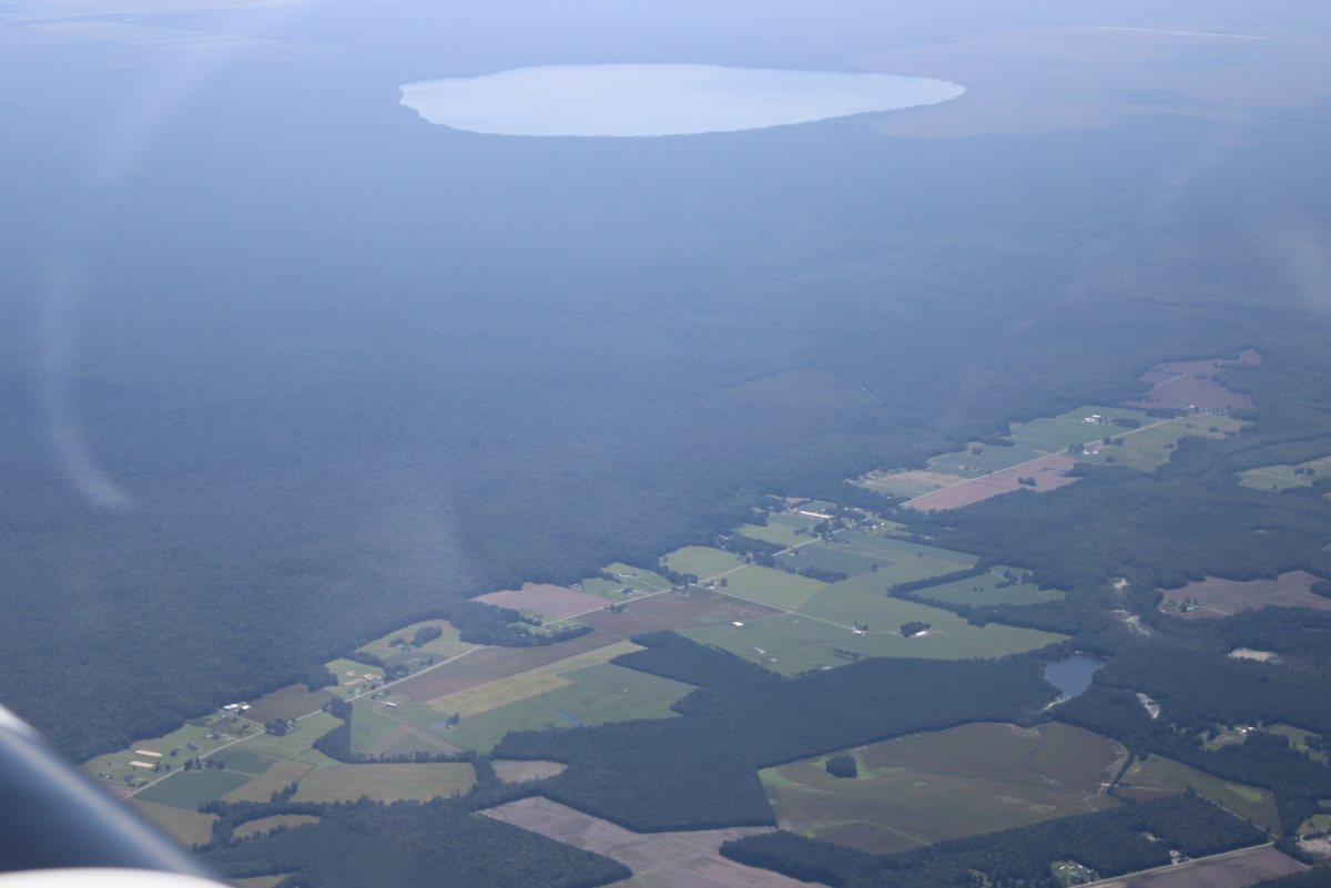
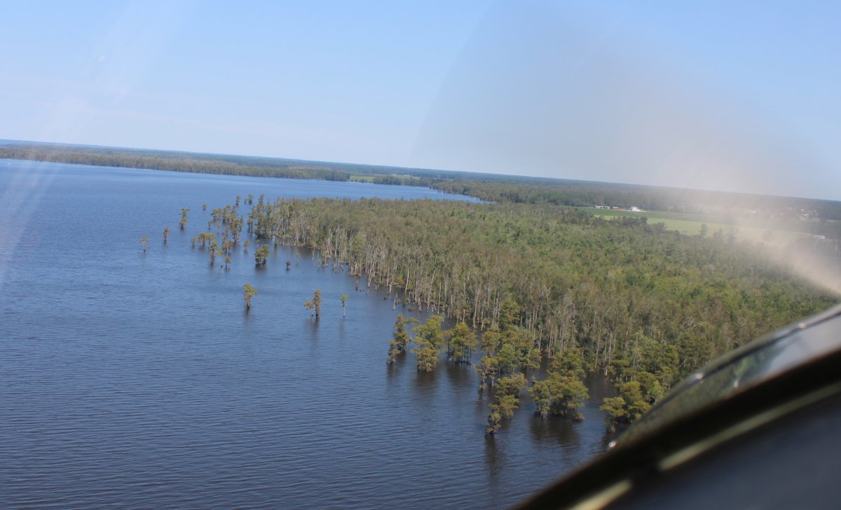
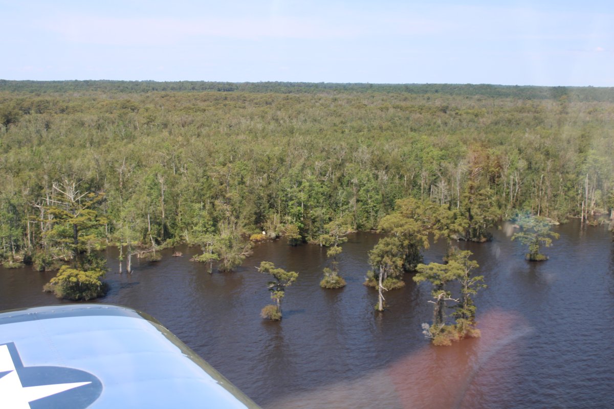
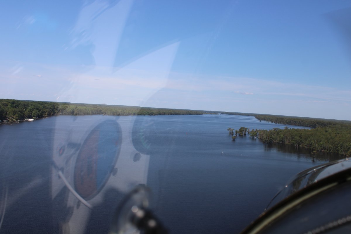
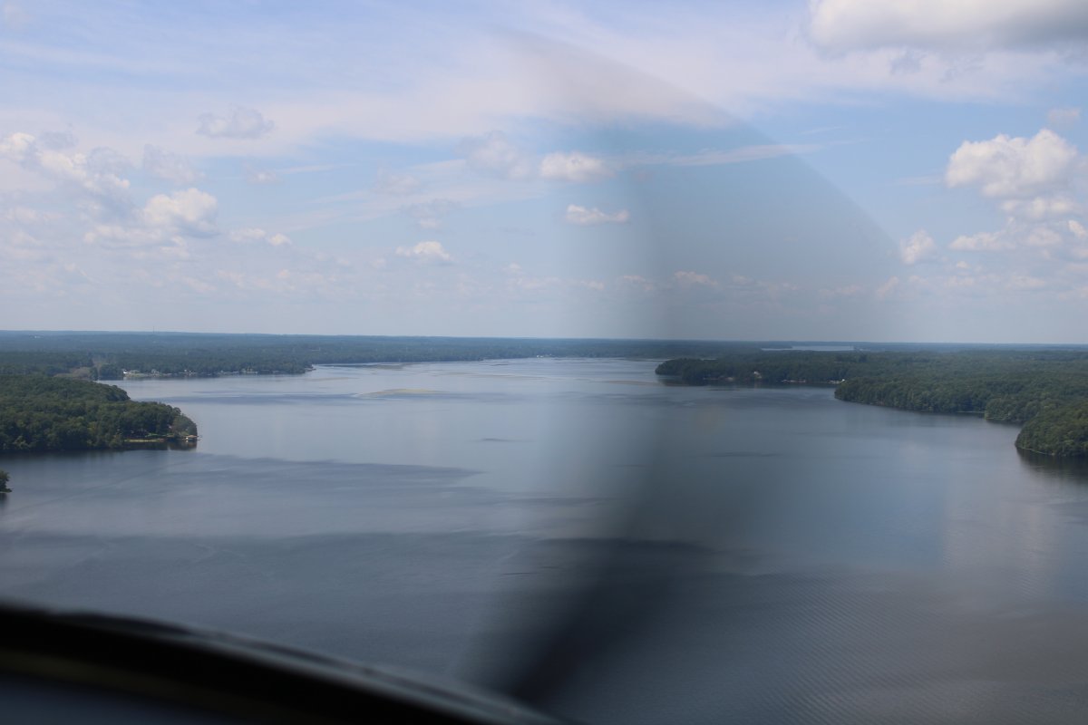
| I turned north and headed up the Chowan River. It was very wide at this point. |
| |
 |
|
|
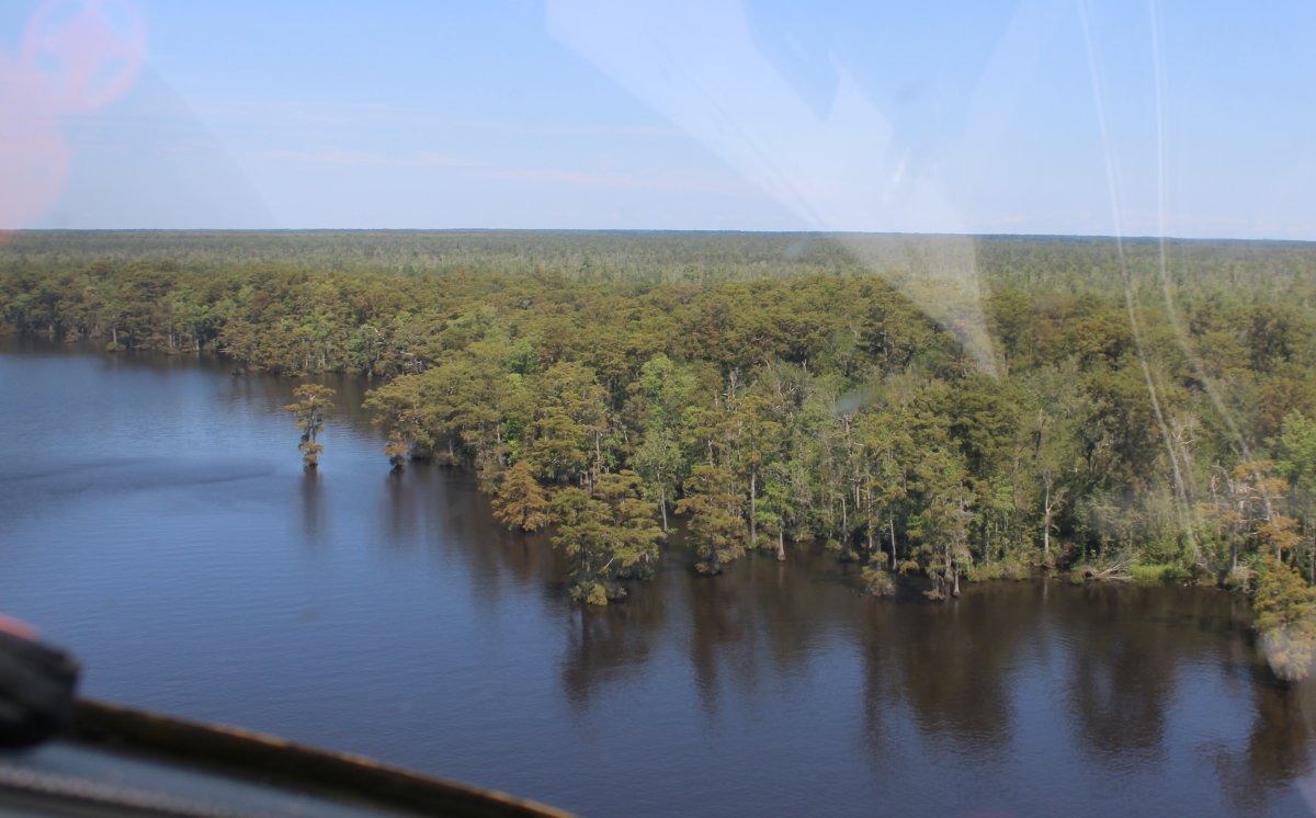
I flew the eastern edge and was surprised to see live trees sticking out of the water.
|
| |
 |
|
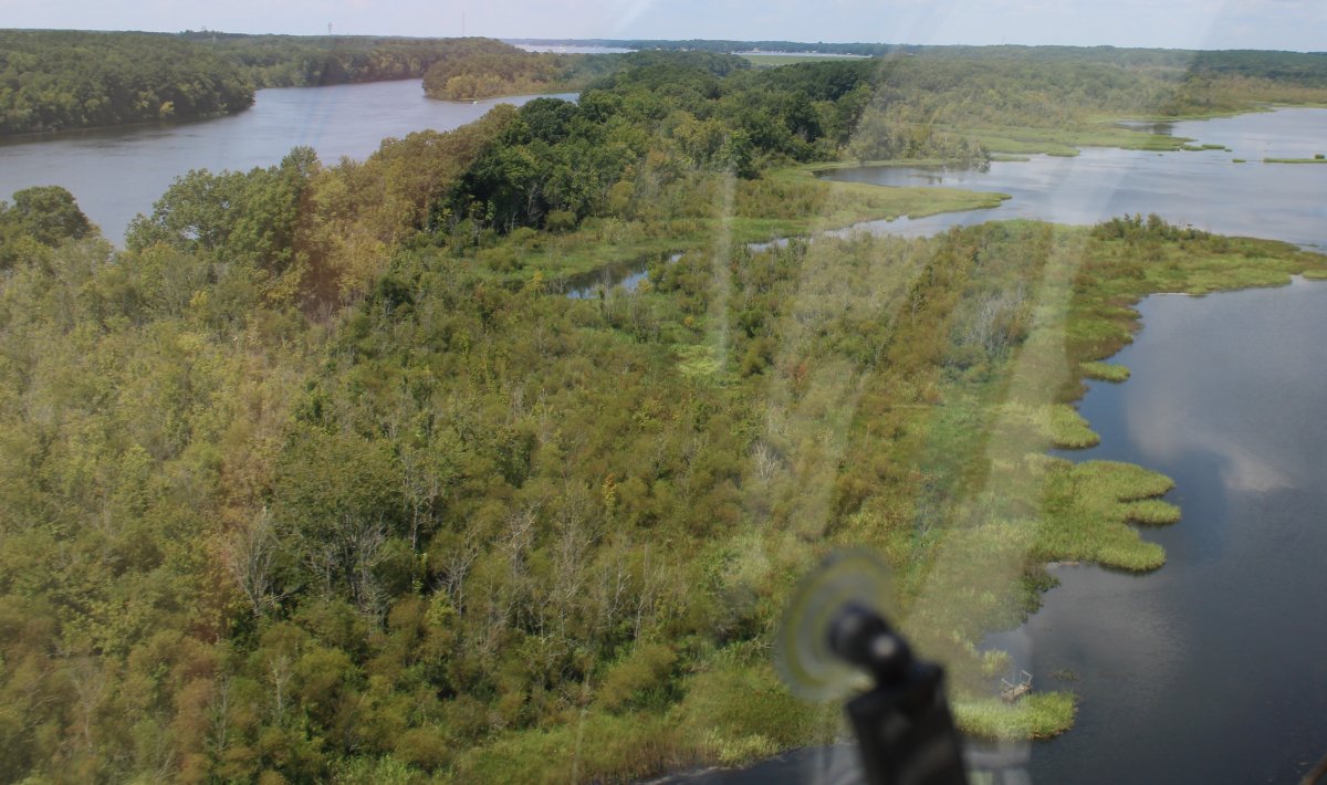
| I discovered that the Chowan is a "blackwater" river -- a river with a slow-moving channel flowing through forested swamps or wetlands. |
| |
 |
|
|
The Chowan River is one of the three oldest surviving English place-names in the U.S. Along with Roanoke Island and the Neuse River, it was named in 1584 by Captains Philip Amadas and Arthur Barlowe, sent to explore the region by Sir Walter Raleigh. Their "Chowanook", or Chowanoke, name was shortened to Chowan.
I crossed over to the west side of the river.
|
| |
 |
|
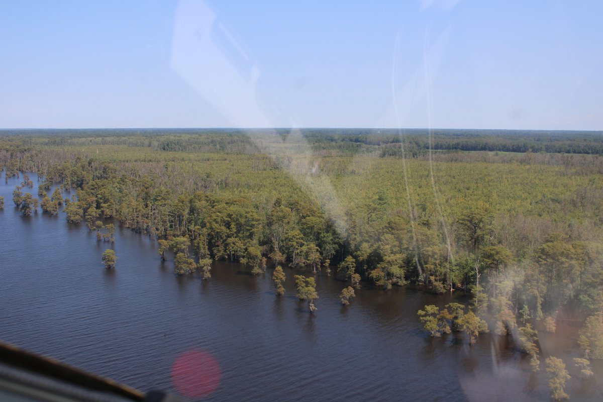
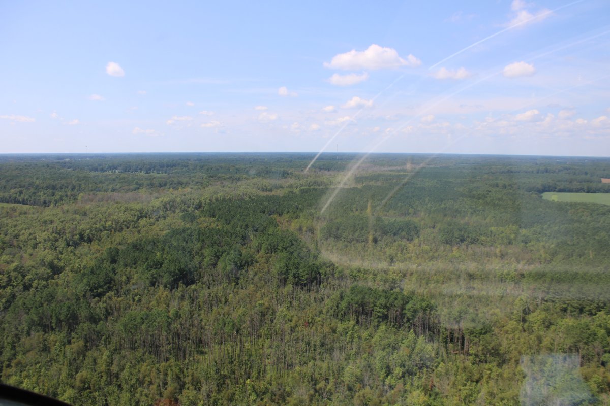
| Nothing but trees, a statement I would make many times today. |
| |
 |
|
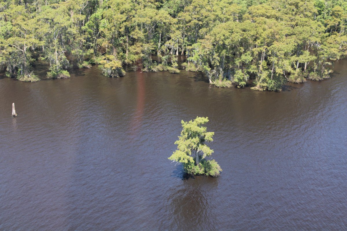
| This healthy looking tree is all by itself in the water. Notice the remnants of a solitary tree to the far left. |
| |
 |
|
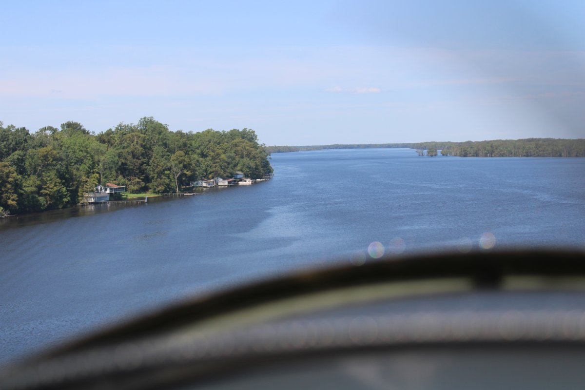
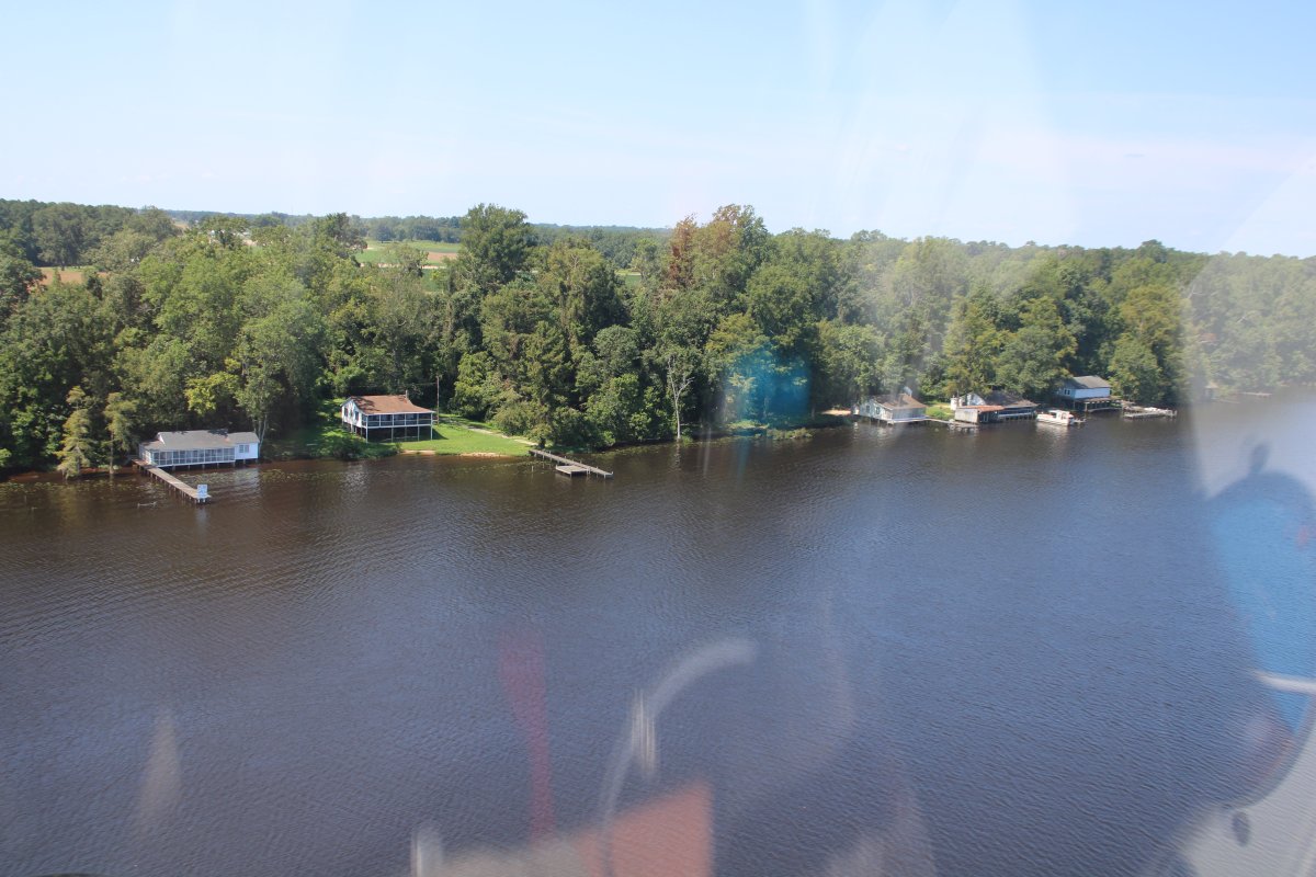
| A few houses appear on the bank. The river had made a left turn so I was now heading west. |
| |
 |
|
|
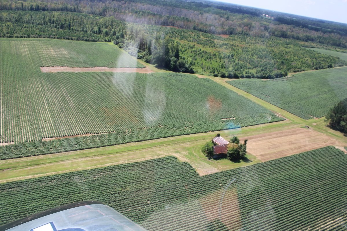
Not too fancy. This area is pretty remote.
|
| |
 |
|
| The river starts to narrow. |
| |
 |
|
|
The trees are still in the water.
|
| |
 |
|
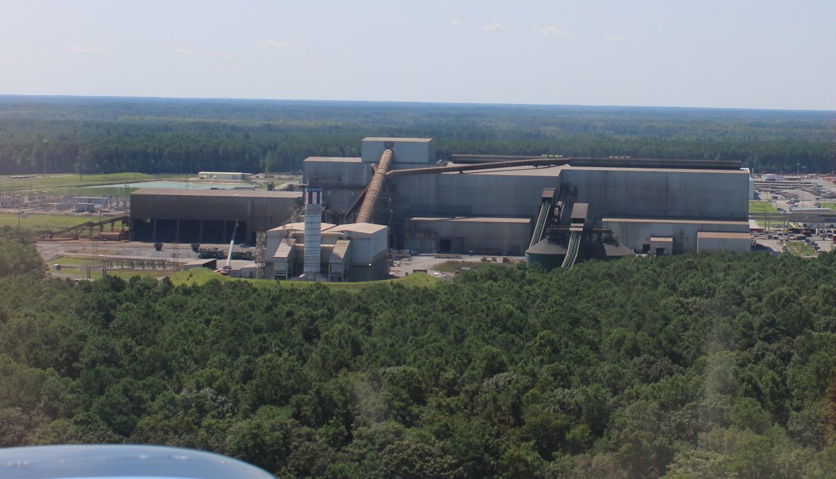
| Passing by a Nucor Steel Mill in Hertford County. |
| |
 |
|
|
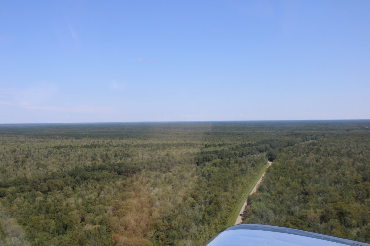
Like I said, nothing but trees.
|
| |
 |
|
| The river was getting very narrow and I had to leave it. |
| |
 |
|
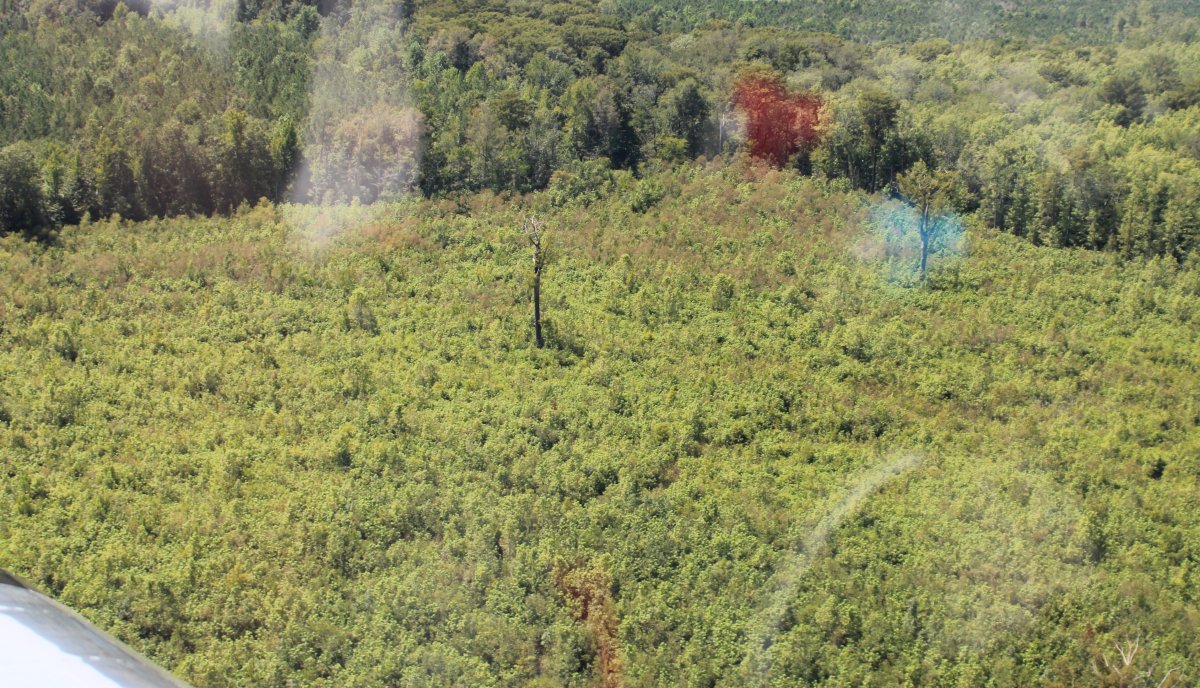
| The remnants of a couple of old growth trees stick out in a cut-out area. |
| |
 |
|
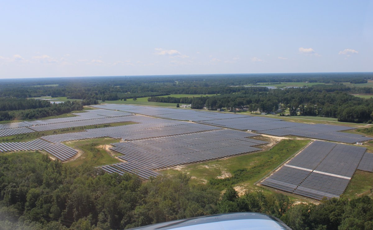
| I entered an area containing multiple solar arrays like this. |
| |
 |
|
|
Beautful day. The ground was different shades of green and the sky blue.
|
| |
 |
|
| Passing over a blackwater area. (See, I learned a new word!) |
| |
 |
|
|
Wait for it .... Nothing but trees.
|
| |
 |
|
| I took this shot because it looked like it would make a good picture. I think it does. |
| |
 |
|
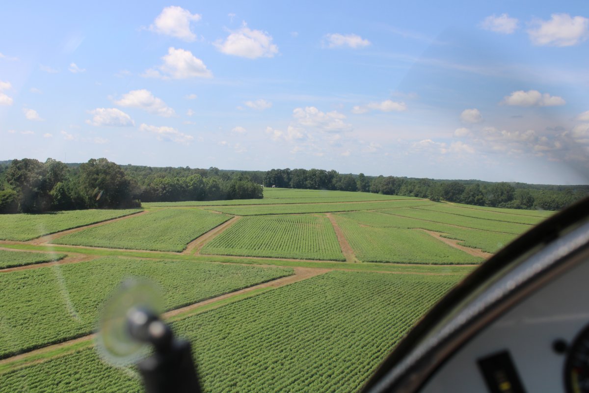
| A little low leve over a big field. |
| |
 |
|
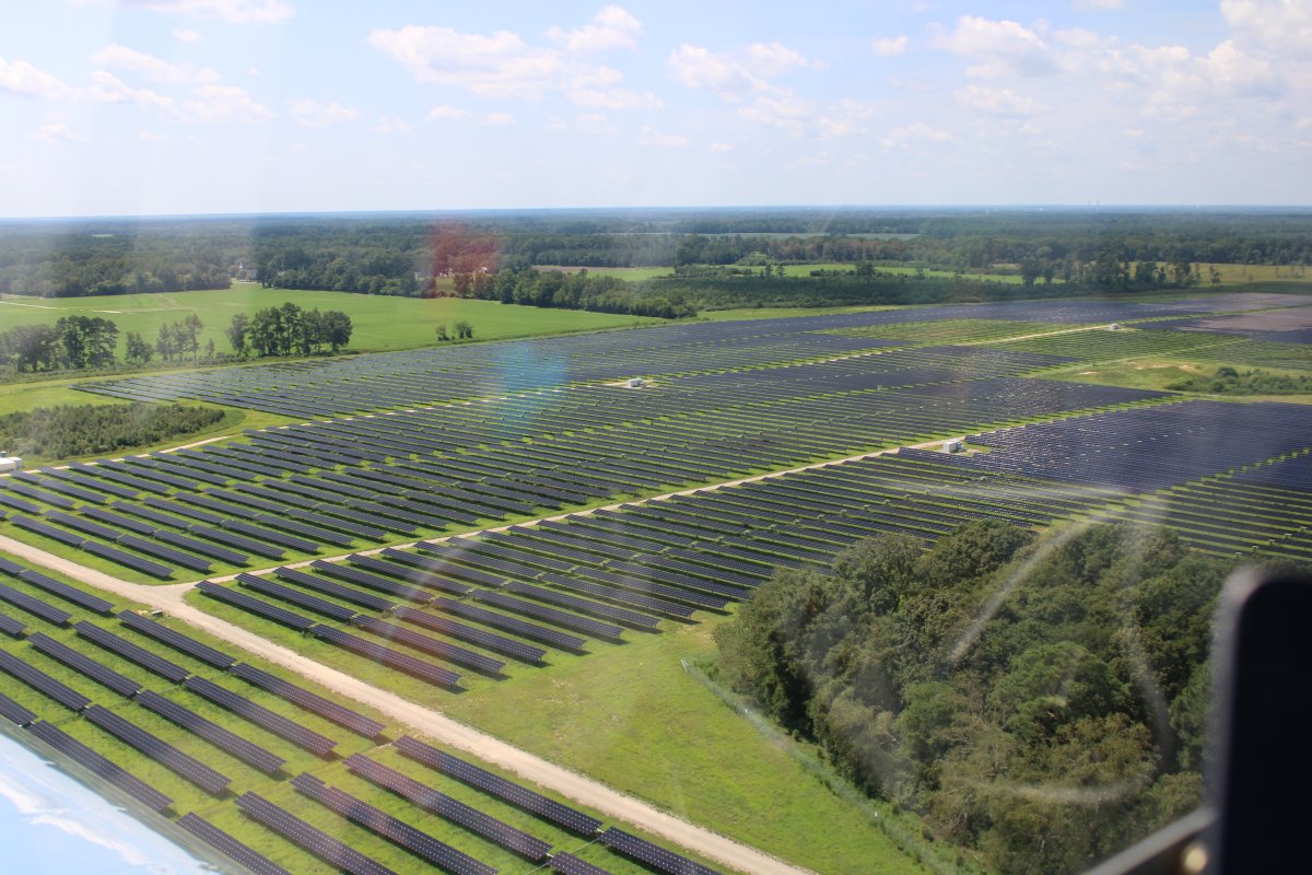
| More solar arrays. |
| |
 |
|
|
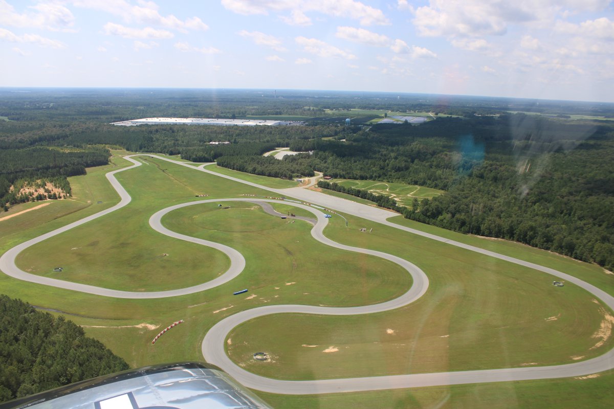
A racecar track.
|
| |
 |
|
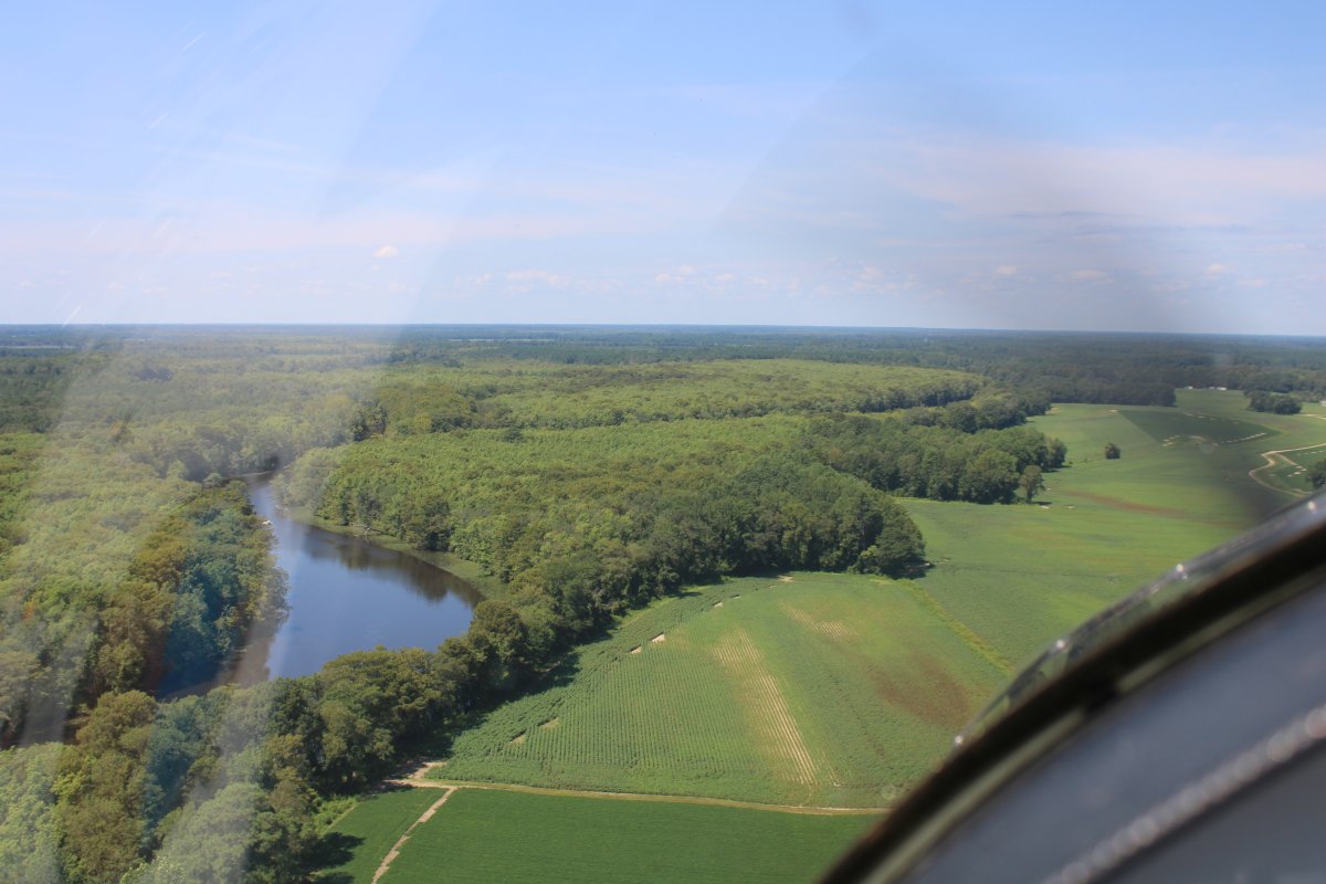
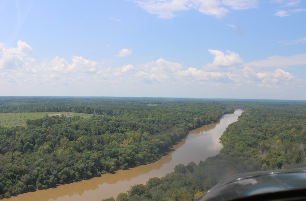
| Approaching a dam on the Roanoke River that creates Roanoke Rapids Lake. I probably should have flown the Roanoke River instead of the Chowan. I think I could have flown the Roanoke all the way to here from Albemarle Sound. |
| |
 |
|
|
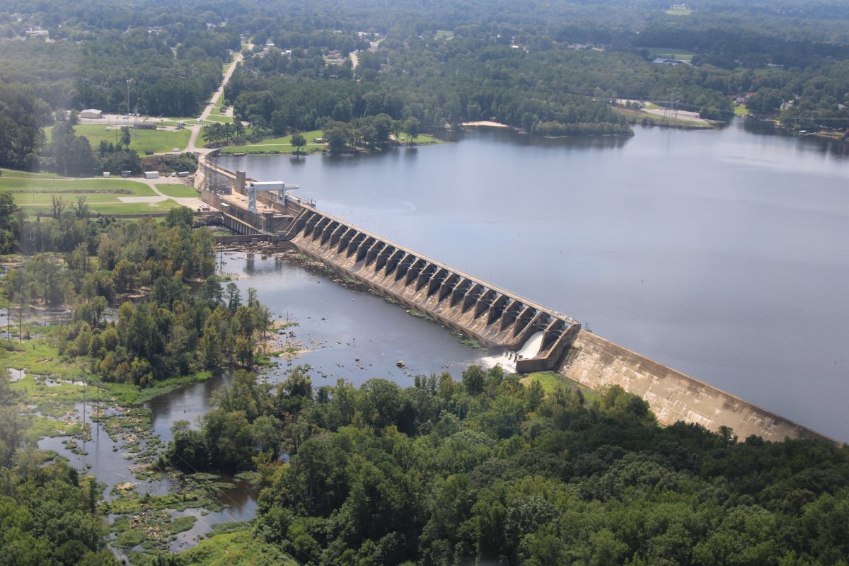
A better look at the Roanoke Rapids Dam.
|
| |
 |
|
| Cruising up the Roanoke Rapids Lake. |
| |
 |
|
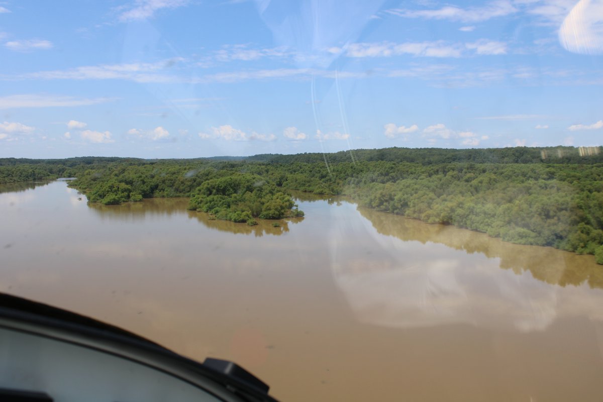
| Soon I came to this big, tree and bush-covereded islands in the river. |
| |
 |
|
| Then I arrived at Gaston Dam which creates Gaston Lake. |
| |
 |
|
|
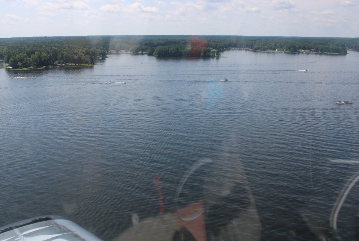
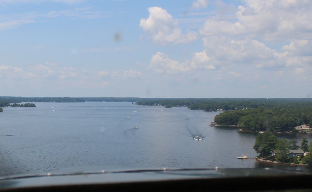
There was a lot of boater activity on Lake Gaston.
|
| |
 |
|
| Cruising up Lake Gaston. It reminded me of Deep Creek Lake in western Maryland, with lots nooks and crannies, lined with waterfront houses and docks. |
| |
 |
|
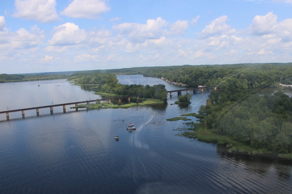
| Approaching the old Seaboard Railroad Bridge, which the last train went over in the Spring of 1987, carrying passengers and freight from Richmond to Raleigh. |
| |
 |
|
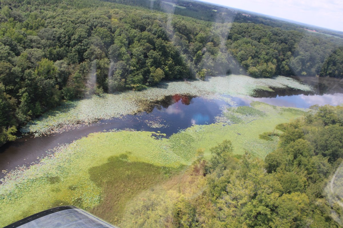
| Some pretty water lilies at the west end of Lake Gaston. |
| |
 |
|
|
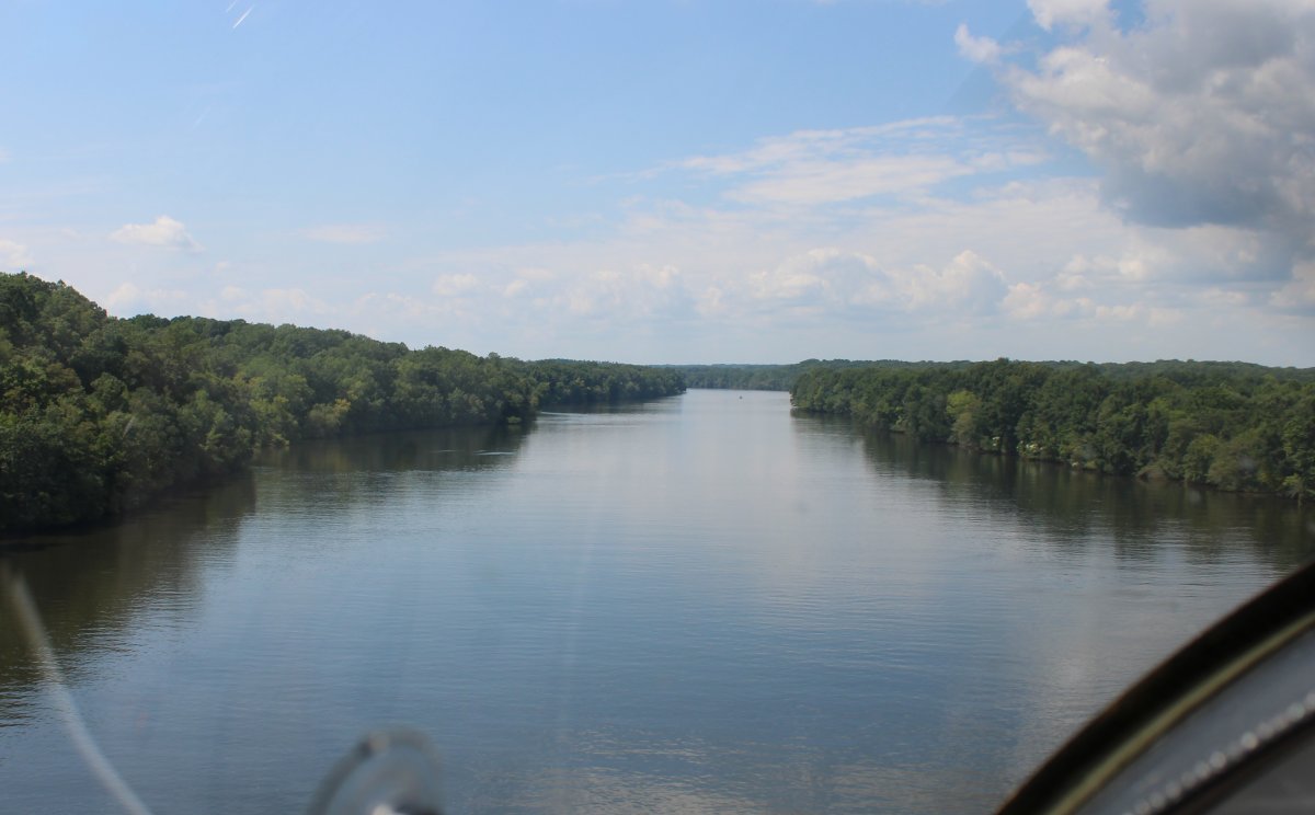
My route has turned back into the Roanoke River.
|
| |
 |
|
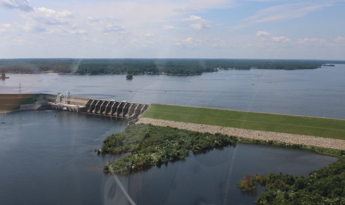
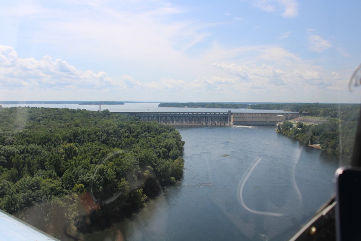
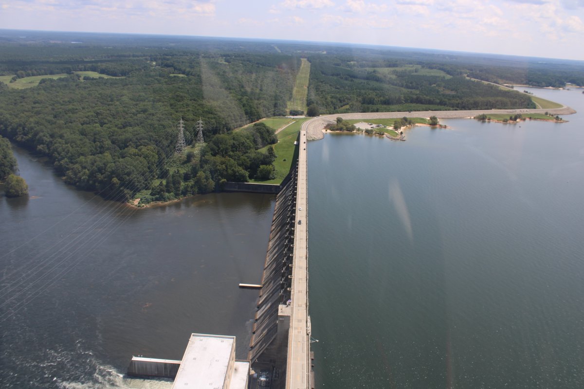
| But very soon another Dam appears ahead. This time it's John H. Kerr Dam. |
| |
 |
|
|
A close look at the John H. Kerr Dam.
The dam was built by the U.S. Army Corps of Engineers between 1947 and 1953 for the purposes of flood control, and hydropower. The dam also serves wildlife resources, forest conservation, and public recreational uses. The John H. Kerr Dam currently produces over 426 GWh of electricity annually and has prevented over $385 million in flood damage since completion. The dam is named after John H. Kerr, a Congressman from North Carolina who was instrumental in authorizing the construction.
|
| |
 |
|
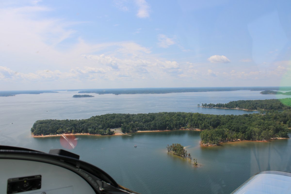
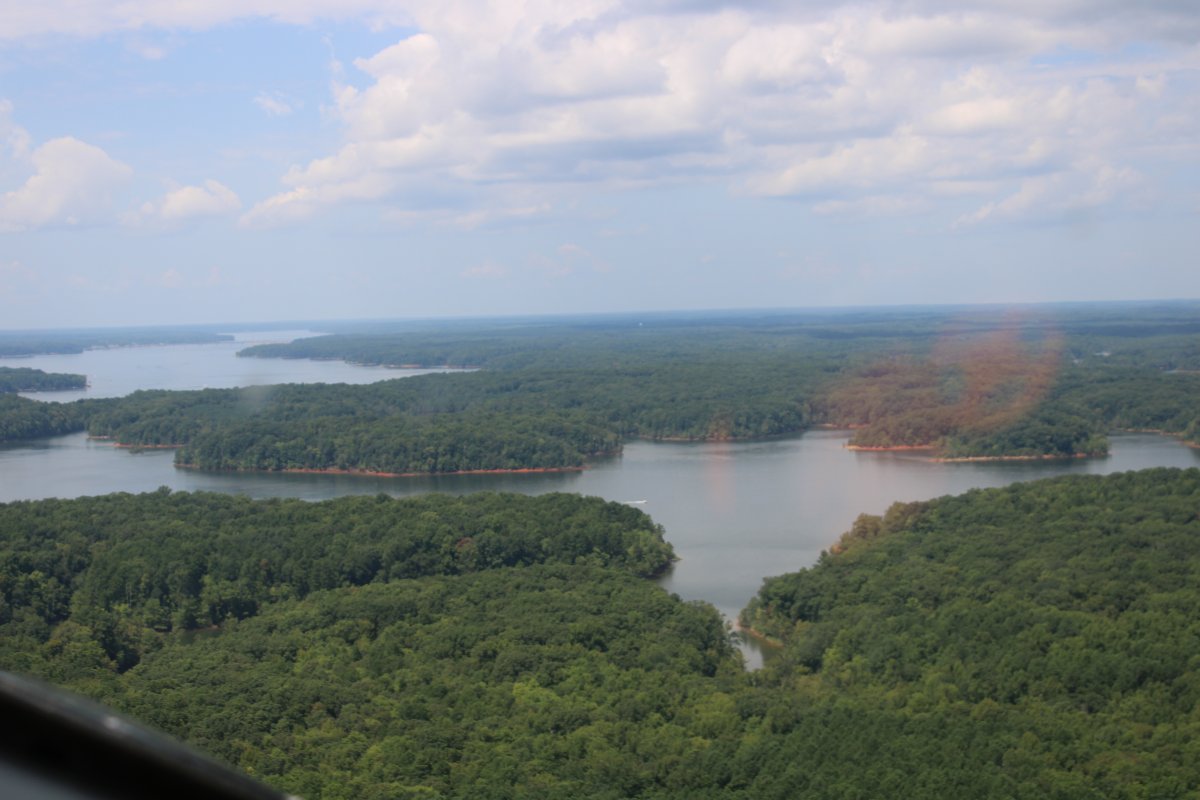
| Kerr Lake is huge. |
| |
 |
|
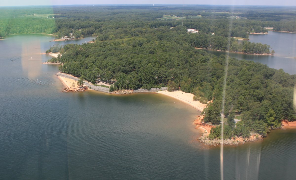
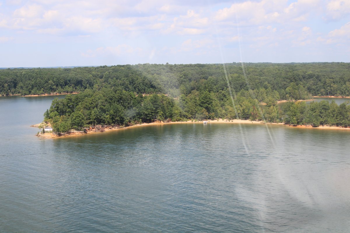
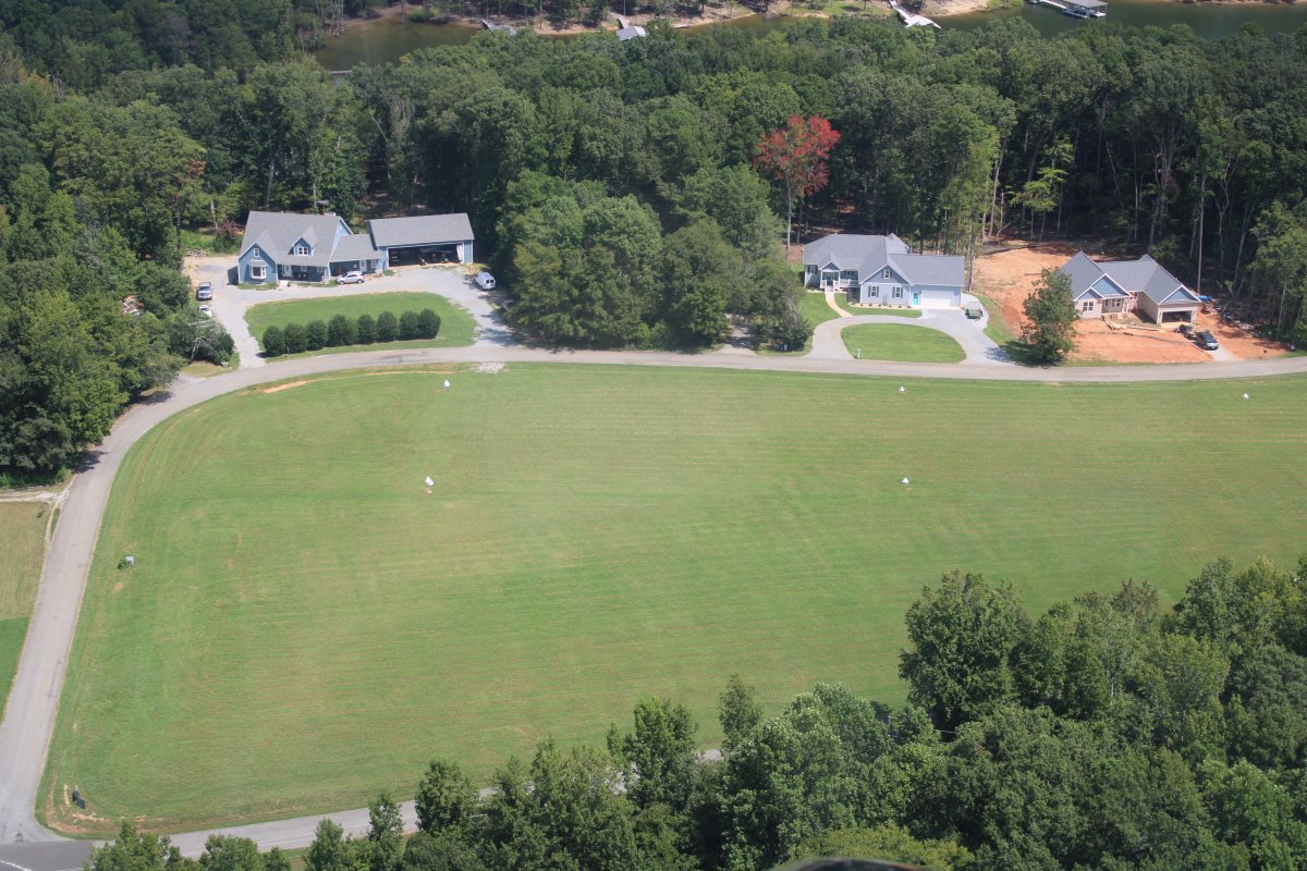
| A couple of beach areas. |
| |
 |
|
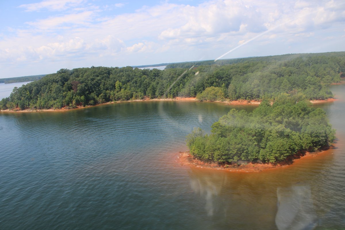
| The dirt in this area has a reddish color. |
| |
 |
|
|
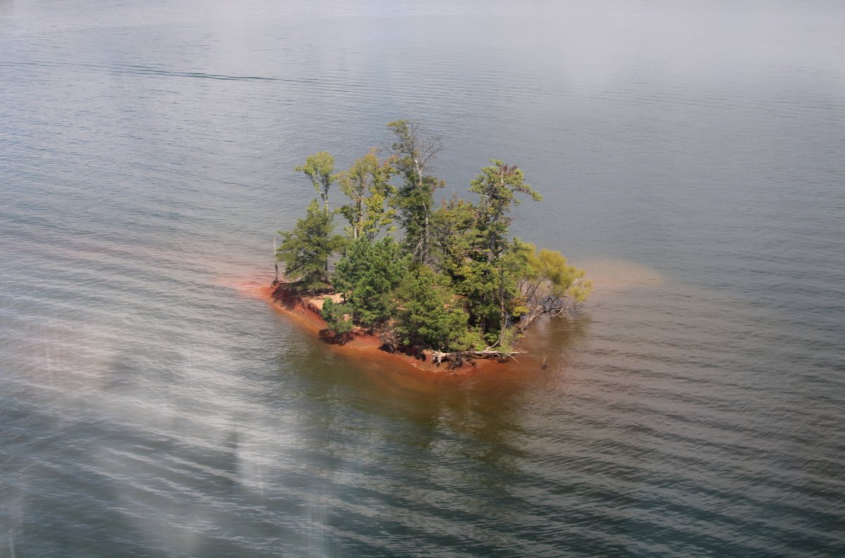
A little tree-covered island.
|
| |
 |
|
| |
| |
 |
|
|
|
| |
 |
|
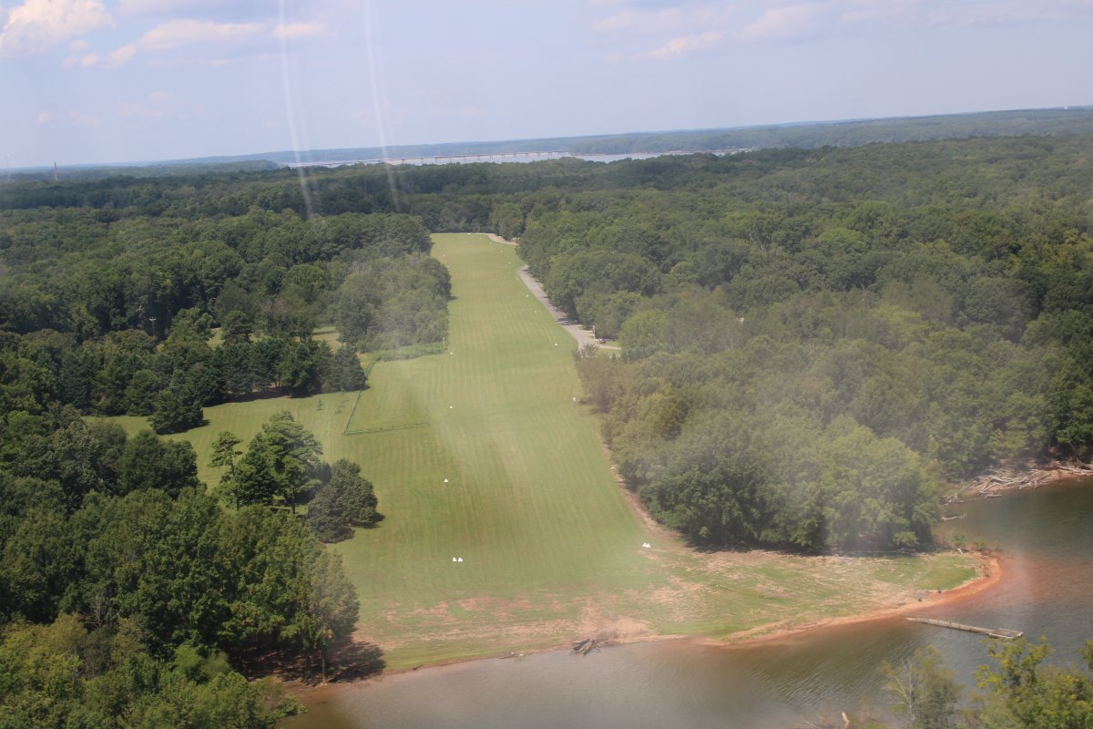
| Passing by a private manicured grass airstrip. |
| |
 |
|
|
ZZZ
|
| |
 |
|
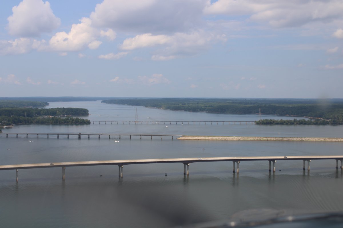
| Approaching multiple bridges crossing the reservoir. The town of Clarksville is out of sight on the left. |
| |
 |
|
|
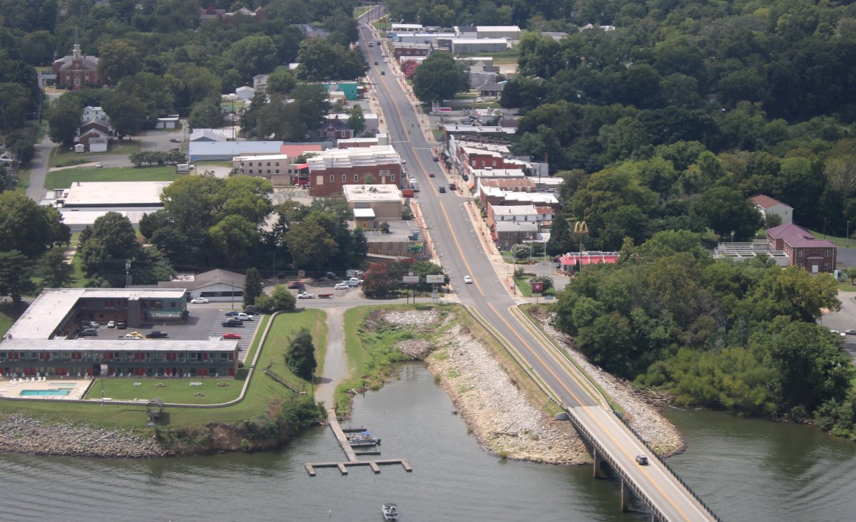
Downtown Clarksville.
|
| |
 |
|
| The reservoir peters out soon after. |
| |
 |
|
|
I'm on the Dan River now as the Roanoke headed off to the north. I was getting tired and there was an airport dead ahead so I decided to stop and stretch my legs.
|
| |
 |
|
| |
| |
|
|
|
|
|
|